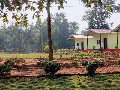
Odisha
Odisha lies between the latitudes 17.780 and 22.730, and between longitudes 81.37 E and 87.53E. The state has an area of 155,707 km2, which is 4.87% of total area of India, and a coast line of 450 km.
On the eastern part of the state, lies the coast plain. It extends from the Subarnarekha river in the north to Rushikulya river in the south. The lake Chilika is part of the coastal plains. The plains are rich in fertile silt deposited by the six major river flowing in the Bay of Bengal,Subarnarekha, Budhabalanga, Baitarani, Brahmani, Mahanadi and Rushikulya. The Central Rice Research Institute (CRRI), a Food and Agriculture Organization recognised rice gene bank and research institute, is situated on the banks of Mahanadi in Cuttack.
Three-quarters of the state is covered in mountain ranges. Deep and broad valleys have been made in them by rivers. These valleys have fertile soil and are thickly populated. Odisha also has plateaus and rolling uplands, which have lower elevation that the plateaus. The highest mountain peak in the state is Deomali Deomali (1672 metres). The other high peaks are: Sinkaram (1620 m), Golikoda (1617 m), and Yendrika (1582 metres).
| Languages spoken | oriya |
|---|---|
| Currency used | INR |
| Area (km2) | 155,707 km2 |
| Country name | India |

